|
|
 |
|
|
|
| Somers Beach in 1940s (S:LV) |
|
|
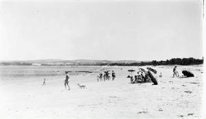
| Somers Beach, looking towards Balnarrng (SLV) 1940s |
HISTORICAL OVERVIEW Originally known as Balnarring East, the area was later renamed for a
popular former Governor of Victoria who set up the local Lord Somers Camp. 1925. The subdivision of Somers began, 1927. The Boulevard Cafe and
Post Office commenced business, the address then still being Balnarring
East. 1929. After much correspondence with the Education Dept. the Palm
Beach School No. 4458 opened. 1930. The town was renamed.
Despite
a few very small land subdivisions for housing,
Somers has not seen any major development since the 1920s and has retained much
of its remnant bushland on the foreshore. As the land had been initially been
used for grazing, the estates were bare until local residents led by local
store-keeper Ron Stone planted many trees throughout the area.
This area is a popular for tourism.
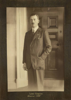
LORD SOMERS CAMP
This was established in 1931 by the
then
Governor of Victoria – Lord Arthur Herbert Tennyson Somers. Lord
Somers was passionate about
community
development particularly in youth. His
aim was to create a more inclusive society where all people had the
opportunity to be happy. To do
this he started Lord Somers Camp, which introduced youth to their peers from
diverse backgrounds.
These successful camps have been running ever since, and
continue today, providing fantastic personal
and community development opportunities to
young people. It’s a fully catered and accredited centre.
WALKING
TRAILS
-
The Beach Trail starts at the car park next to the
General Store, and winds its way easterly though lush bushland down to the
beach.
-
The Nature Trail starts at the same location
and extends westerly along the clifftop, above the foreshore, before reaching
the Yacht Club. Nice views across the Bay. An information board and map are
located near the Store.
BILL CARROL
RESERVE
The Bill Carrol Reserve,
known to the local community as "The Snake Farm", is located on Palmers Hill
Road. It was established a few years ago and has a wonderful wetland and bird
watching area. Picnic tables and new tracks have been added to the small but
peaceful park. Lots of flora and fauna can be found here including koalas and
possums. There is also the Friends of Bill Carrol Reserve which (like the
Foreshore Committee with the foreshore), cares for the park and does regular
maintenance.
|
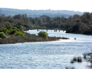
| Merricks Creek estuary - Somers, 2016 (author's photo) |
|
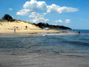
| Somers Beach - 2016 (author's photo) |
|
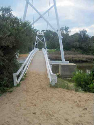
| Suspension Bridge over Mericks Creek - 2016 (author's photo) |
|
|
| Somsrs school camp 1940s (SLV) |
|
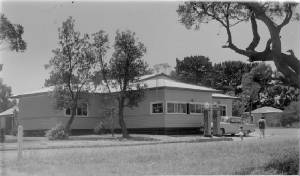
| Somers Post Office (SLV) c1950s |
|
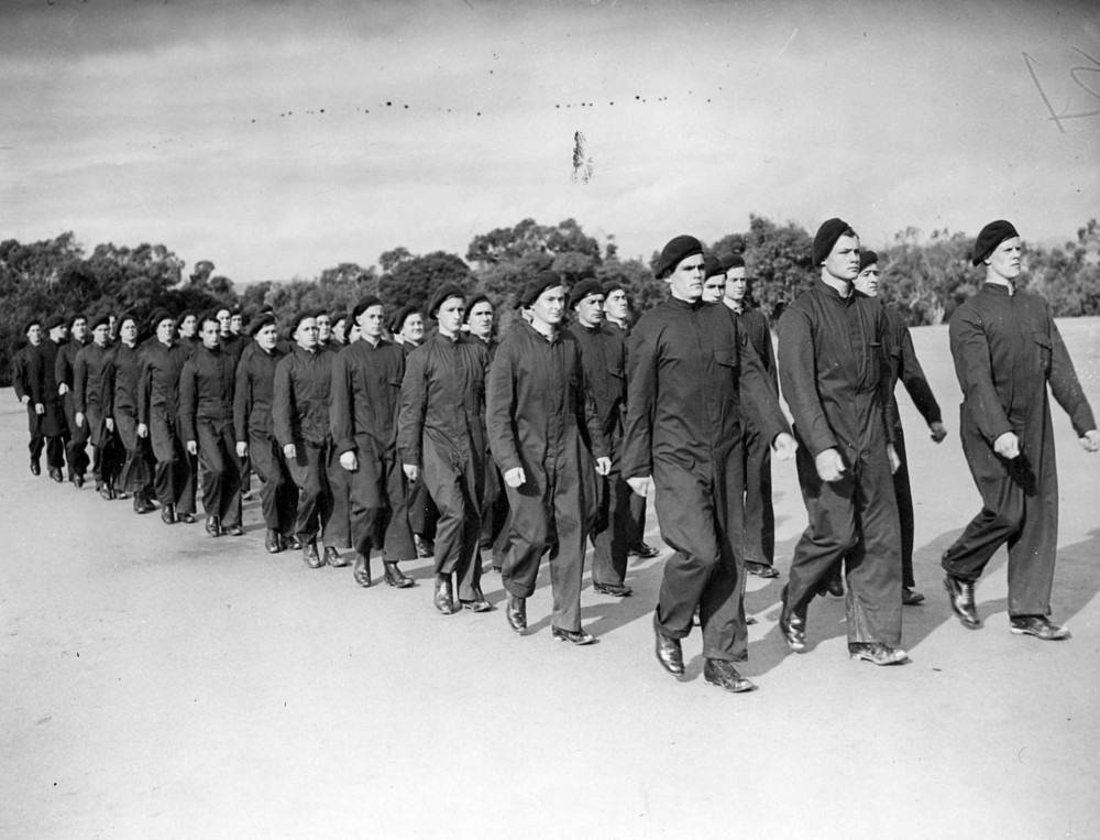
| Somers RAAF training 1941 (SLV) |
|
|
| Lord Somers c1926 (SLV) |
|
|
|
|
|
|
|
|