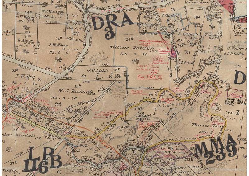
Map - Mooroolbark Parish c1925
Home
Design and Operations
Gallery One
Gallery Two
Gallery Three
Gallery Four
After the Closure - Part 1
After the Closure - Part 2
After the Closure - Part 3
After the closure - Part 4
After the Closure - Part 5
After the closure - Part 6
After the closure - Part 7
After the closure - Part 8
After the closure - Part 9
After the closure - Page 10
After the closure - Part 11
History Timeline - 1840s to 1997
History Gallery - 1971 to 1972 (Part 1)
History Gallery - 1971 to 1972 (Part 2)
History Gallery - 1971 to 1972 (Part 3)
Present Day Images Part 1
Present Day Images Part 2
Present Day Images Part 3
NEW! Present Day Images - 2015
Location Maps
Parish Map
Mt Dandenong Tourist Road - history
About the Author, and his Photo Galleries
Pictorial Heritage of Victoria
References, Further Reading and Acknowledgements
Parish of Mooroolbark - c1925 (D.K. Cerchi 2014)
Contact the author