foxptbannerlatest.jpg

NEW! Present Day Images - 2015
Home
Design and Operations
Gallery One
Gallery Two
Gallery Three
Gallery Four
After the Closure - Part 1
After the Closure - Part 2
After the Closure - Part 3
After the closure - Part 4
After the Closure - Part 5
After the closure - Part 6
After the closure - Part 7
After the closure - Part 8
After the closure - Part 9
After the closure - Page 10
After the closure - Part 11
History Timeline - 1840s to 1997
History Gallery - 1971 to 1972 (Part 1)
History Gallery - 1971 to 1972 (Part 2)
History Gallery - 1971 to 1972 (Part 3)
Present Day Images Part 1
Present Day Images Part 2
Present Day Images Part 3
NEW! Present Day Images - 2015
Location Maps
Parish Map
Mt Dandenong Tourist Road - history
About the Author, and his Photo Galleries
Pictorial Heritage of Victoria
References, Further Reading and Acknowledgements
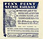
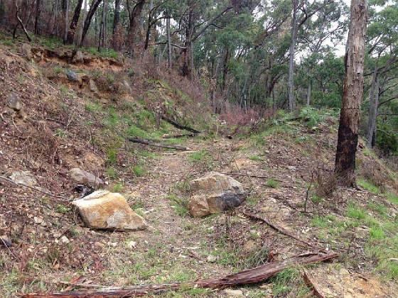
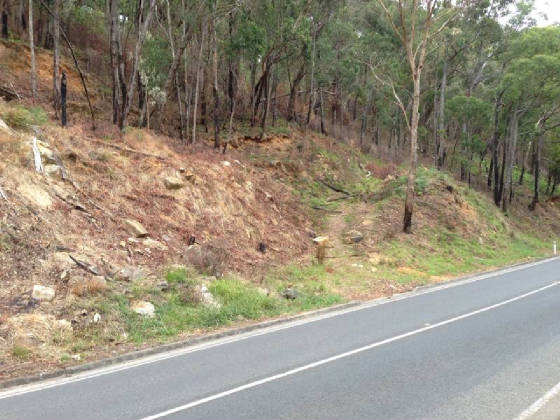
These images were kindly supplied by local resident Trevor Evans, who took them in February 2015.

They show the original site of the railway, following recent land clearing operations, which reveals features of the embankment on Mt Dandenong Tourist Rd, previously hidden under dense scrub and vegetation. The alignment of a rough track is evident at the right, the purpose of which remains a mystery!
 
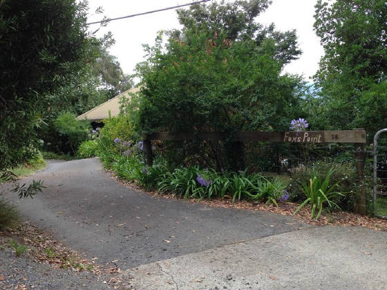
His additional pic shows a property named "Fox's Point", at 16 Scenic Crescent, on land which would appear to be near to the original railway site.

foxptevans1.jpg

foxptevans2.jpg

foxptevans3.jpg

Enter supporting content here