|
|
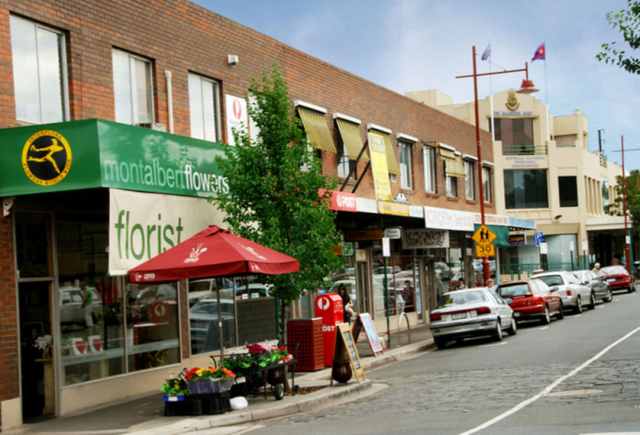
| 2013 - shops in Hamilton St |
|
|
|
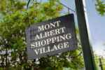
| 2013 - the suburb of Mont Albert |
Add your content here
|
|
|
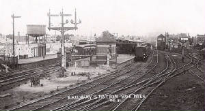
| 1918 - Box Hill station |
Overview
The suburb of Mont
Albert is 11 km east of Melbourne's CBD, and Its Local Government area are the Cities of Boroondara and Whitehorse. At the 2011 Census, Mont Albert
had a population of 4,954.
The main shopping centre of Mont
Albert is Hamilton Street, a small street lined with shops. The suburb
has its own railway station.
Mont Albert was originally part of Surrey Hills,
which was shared between the former Cities of Camberwell and Box Hill, and is bounded by Elgar Rd (east), Windsor Crescent
(south), Kenmare St (north), and Carrick St/Smythe Ave/York St/Wilson St (west).
The adjacent suburbs are Mont Albert North,
Surrey Hills, Balwyn, and Box Hill.
Prior to the railway station being constructed in 1890, Mont Albert was a
rural district, with few houses.
Historical
Notes
Boroondara became the City of Camberwell, the name derived from aboriginal Burroodarah –
shady or dark place
Nunawading
- derived from aboriginal Numphawading – ceremonial ground or battlelfield
Whitehorse
was formed in December 1994 by the amalgamation of the former Cities of Box Hill and Nunawading.
The name Whitehorse came from the White Horse Inn, a tavern built in 1853, and located on the SE corner of present-day Whitehorse and Elgar Rds, This name
was applied to the major thoroughfare Whitehorse Rd, which runs through the municipality today.
A commemorative cairn is at the site of the original hotel in a small park.
In the original proposals for council amalgamations in
Melbourne, Whitehorse was a suggested name for an area comprising the City of Box Hill, with the addition of residents east
of Union Road (part of the old City of Camberwell).
The affected residents were unhappy, believing an alignment with Box
Hill would lower the value of their properties. A second proposal featured the current boundaries of Whitehorse.
The
City of Nunawading proposed the name "City of Koornung", claiming it was more appropriate, as both cities shared the Koonung
Creek,
but unfortunately they failed to note they had spelled Koonung incorrectly in their proposal.
|
| 1860s - Whitehorse Rd and Station St, Box Hill |
|
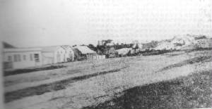
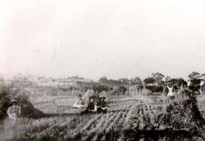
| 1893 - farm in Surrey Hills district |
|
|