|
|
 |
These are 3D Satellite Images of some of the places described
in this Notebook.
Those mountain ranges appear very steep and forbidding!
You can create your own 3D Satellite Images of any place on the earth's surface by visiting Google Earth and downloading the application (14 MB).
|
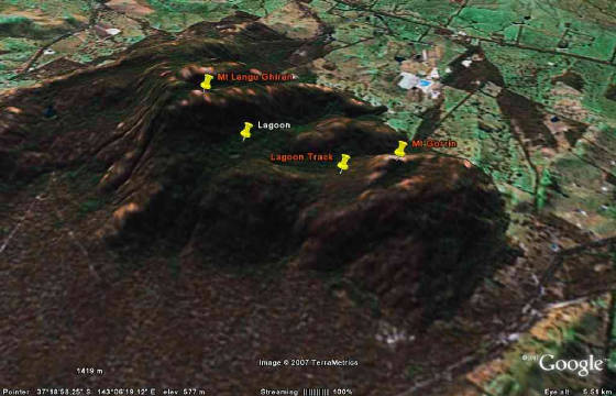
| Langi Ghiran State Park - various features! |
|
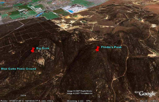
| Flinders Peak - You Yangs Regional Park |
|
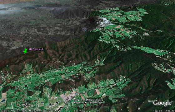
| Kinglake National Park - Mt Everard |
|
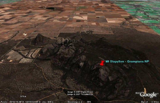
| Mt Staplyton - Grampians National Park. The walking track is clearly visible! |
|
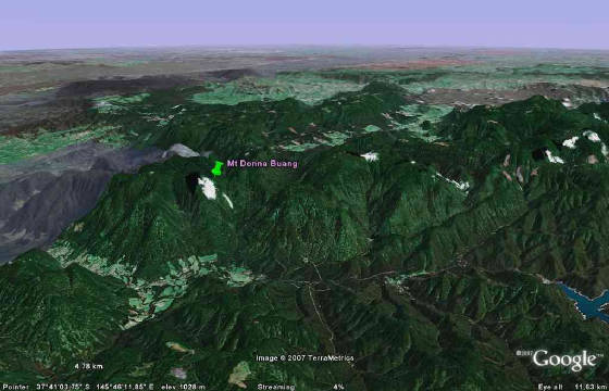
| Mt Donna Buang - Yarra Ranges National Park. Warburton at left. Upper Yarra Reservoir at right. |
|
|
|
|
Distances to the start of walks, from Melbourne, are in brackets against
their descriptions
|
|
|
|

