|
|
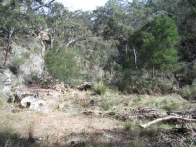
| Little River Gorge - Brisbane Ranges |
IMPORTANT!
The Park is very large, and there are innumerable walks and tracks throughout!
A good map is essential.
The Parks Vic Brisbane Ranges Track Notes is recommended.
Burchell Trail. (80 km W). The
Burchell Trail is the main walking track in the Brisbane Ranges, extending for 37 km. It may be undertaken as a single walk,
with overnight stops, or as individual sectors.
It runs from the Steiglitz Court House in the south to Boar's Gully in the
north, and is identified by distinctive colored markers along its course.
Unfortunately, sections of the Park were destroyed in the disastrous
fires of January 2006, and as at May 2007, restoration of tracks and bridges is continuing.
Access is via the Western Highway, Bacchus Marsh, to car parks/picnic grounds at Boar Gully, Balliang, or
Anakie.
Some sections of the Burchell Trail had been walked prior to the fires.
The Trail offers good
views, gorges, lookouts, creek crossings, old mines, bridges, fauna, flora, bushland, and forests.
Walk 1: Little River
Region, Stony Creek, McLean's Highway, Staunton Vale Rock Face. (6 km, Apr 2005, 2 hrs)
Photos | Map
Walk 2: Wallaby Track, Thompson's Rd, Little River Region.
(6 km, May 2005, 2 hrs)
Walk 3: McLean's
Highway, Thompson's Rd, Slate Track, Quarry Track
(5 km, Jun 2005, 2 hrs)
Photos | Map
Walk 4:
Start at Steiglitz Court House. Follow track to junction with Steiglitz Rd and return to Courthouse. Excellent bushland, cliffs, gorges, rocky in parts. (4 km, 2 hrs, September 2005)
Map
Walk 5: Start at Crossing picnic area/car park. Follow track
to Old Mill Picnic area and return. (6 km, 2 hrs, August 2005)
Map
Albion Mine Walk. (80 km W). Interesting walk through bushland, past old mines, to the site of
the United Albion Mine. Good views from the high point near the mine. (5 km, Dec 2004, 2 hr)
Photos | Map
Anakie Gorge and
Nelson Lookout Walk. (80 km W). Start/end at Anakie Gorge Picnic Area, Staunton Rd. Follow signed
markers. Excellent views, grass trees, old water channels, old mines. (4 km,
Oct 2004, 2 hrs)
Map
Only those walks completed since late
2004 have been mentioned.
|

