foxptbannerlatest.jpg

Present Day Images Part 1

Home
Design and Operations
Gallery One
Gallery Two
Gallery Three
Gallery Four
After the Closure - Part 1
After the Closure - Part 2
After the Closure - Part 3
After the closure - Part 4
After the Closure - Part 5
After the closure - Part 6
After the closure - Part 7
After the closure - Part 8
After the closure - Part 9
After the closure - Page 10
After the closure - Part 11
History Timeline - 1840s to 1997
History Gallery - 1971 to 1972 (Part 1)
History Gallery - 1971 to 1972 (Part 2)
History Gallery - 1971 to 1972 (Part 3)
Present Day Images Part 1
Present Day Images Part 2
Present Day Images Part 3
NEW! Present Day Images - 2015
Location Maps
Parish Map
Mt Dandenong Tourist Road - history
About the Author, and his Photo Galleries
Pictorial Heritage of Victoria
References, Further Reading and Acknowledgements

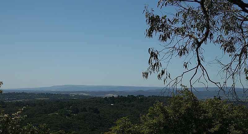
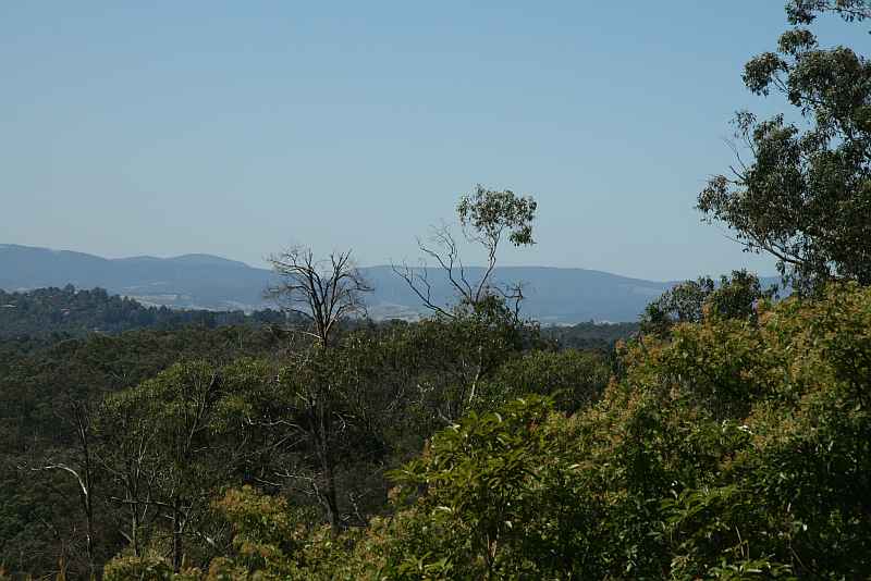
No accessible trace remains today of the railway or its structures. The images on this Page were taken by the author in March 2014.
fox2013h.jpg
2014 - view from Mt DandenongTourist Rd, taken from a spot about 200 m to the west of the railway

fox2013g.jpg
2014 - view from Mt DandenongTourist Rd, taken from a spot about 200 m to the west of the railway

Enter images and other content here

Enter images and other content here

Enter images and other content here

fox2013i.jpg
2014 - view from Mt DandenongTourist Rd, taken from a spot about 200 m to the west of the railway

Enter images and other content here

Enter supporting content here