Auburn is a residential
area 8 km. east of Melbourne, situated in the Hawthorn area. It has a railway
station with an adjacent shopping centre, near what was the main outgoing
thoroughfare from Melbourne through Hawthorn at the time of Hawthorn's early
settlement.
The area in which Auburn is
situated was first called Red Gum Flat. It was well regarded as a source
of good clay for brick and pottery products. The name "Auburn"
may have come from either or both of two residences built in the 1850s.
Auburn Lodge, built by Reverend Henry Liddiard, was on an allotment immediately
south of Burwood Road and between Glenferrie and Auburn Roads. To the south
of Liddiard's residence John Collings built Auburn House at today's 4 Goodall
Street.
In the north-east of the Auburn area early subdividers
(i.e. before the coming of the railway in 1882), attempted to market the
Rathmines Village. When the railway station was opened the name Auburn overtook
other names. The subdivisions in the north-east attracted "gentlemen's
private residences."
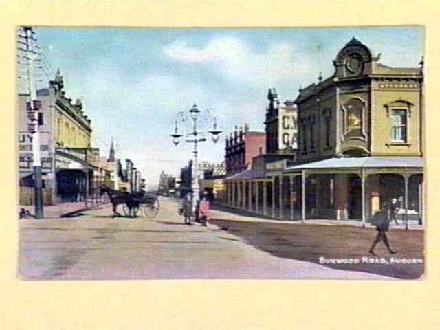
Whilst Hawthorn's main civic and retail buildings
were erected in neighbouring Glenferrie, Auburn's Methodists built a large
church in Oxley Road (1889). The retailing area in Auburn Road near the
railway station attracted elaborately designed buildings, notable examples
being the hotel (now Geebung Polo Club hotel), and a three-storey red-brick
row of shops.
A land mark at the corner of Auburn and Burwood
Roads is Murphy
Brothers' Produce store (1906).
The Auburn primary school (1890) overlooks the
flats and units mostly erected during the 1960s and 1970s, which the council
encouraged as a way of arresting inner-urban decline. Local feeling subsequently
overtook the Council's policy, and preservation measures and private initiative
have kept many of the surviving older residences.
Auburn has a subsidiary shopping area at the corner
of Auburn and Riversdale Roads, and further south is the Auburn South primary
school (1925).
To the north of the railway line Auburn has an
east-west watercourse which has been undergrounded and passes the Victoria
Road Reserve and the Central Gardens, both former clay pits.