|
|
 |
|
OVERVIEW
|
|
|
|
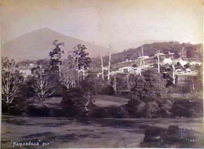
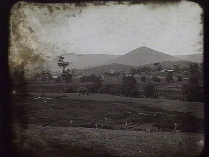
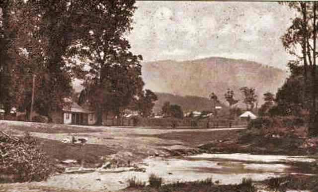
| 1890 town of Healseville |
|
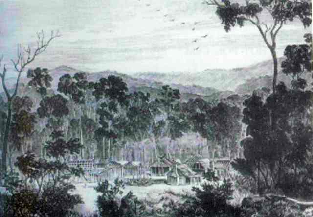
| Town of New Chum in 1864 |
Note:
The Watts
River was originally known as the Maroondah
River.
YARRA TRACK DEVELOPMENT
The
frenzied expansion of Victoria’s gold rush in the late 1850s was associated with the
discovery of gold in the Jordan Goldfields, at Gaffneys Creek in 1860, Wood;’s Point, in 1861, Jericho in 1861,
Donnelley’s Creek in 18i62 and Walhalla in 1863
1862
George Rieck discovered the “Yarra Track” to the Jordan Goldfields. This ran from Melbourne, through
Eltham, Kangaroo Ground, Christmas Hills, and the Yarra Flats (now Yarra Glen), then it crossed New Chum Creek.
1863
The Government decided to construct a
road along the route. The '1862' route discovered by Reick was chosen with a deviation on the original route to avoid the
arduous climb over Mount Strickland.
Its original width varied between 12 and 20 feet, and was designed to accommodate horse drawn vehicles. This Track involved
the climbing of the Blacks Spur, descent into the Acheron Valley,
and then through Marysville to the Cumberland where it followed
the existing route. The old route through Paradise Plains subsequently dropped out of vogue.
1865
The first drays and wagons reached Woods
Point came via the Yarra Track, but could only get through during the summer months. The Yarra Track supplied a definite need
in its more direct approach to the goldfields, Woods Point could now be reached at a little over one hundred miles from Melbourne, compared with two hundred and twenty miles via Jamieson.
Two
main construction camps were established in new localities on the Yarra Track - Healesville and Marysville. These were surveyed
as towns to serve as base camps for construction teems and as staging towns when the coach route was completed. Marysville
was founded and surveyed in August, 1864. Healesville was surveyed in September 1864, which resulted in the deviation of the
settlement at New Chum. (New Chum was located about 5 km north of present day Healesville. This town arose because it was
at the furthest point coaches could travel along the route from Melbourne.
From there, a packhorse track climbed through the mountains to the diggings. Shanties were built along every eight or nine
km from New Chum to the diggings.) Accommodation houses and stores were strung along the rest of the road.
The Yarra
track not only led to the creation of new towns but it gave a large boost to the development of many of the existing towns
within the region. It was originally surveyed through Eltham, and this gave a boost to the small hamlet of Yarra Flats, (part
of the present day Yarra Glen). Eventually the road changed to a more direct route through Lilydale.
|
|
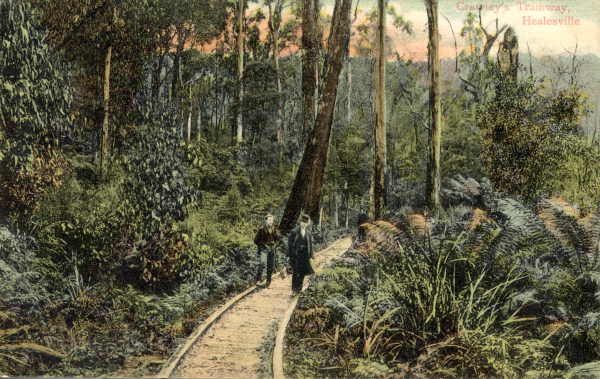
| 1906 Crawley's Mill tramway |
|
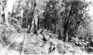
| 1940 Chum Creek Tramway |
1864
Affter
several diversions, a new track was surveyed and cut, passing through the new township of Healesville, about 3 km from
New Chum, and south of the Watts River.
New Chum became deserted and faded into oblivion. The town site is now on private
property near a water pipeline which crosses Chum Creek off the Meyer’s Creek
Rd, near Valley Farm Rd,
Healesville.
A tramway was built to Crowley's Mill, near the site of New Chum, around 1900, by Thomas Crawley which carried
timber to the railhead at Healesville, and then to Melbourne.
1864
The
new settlement of Fernshaw evolved, at the point where the Watts
River crossed the Yarra Track, as a stopping point for travellers to
and from the goldfields. Fernshaw had several hotels, stores, a post office, school, and residential houses.
1885/1886
The
Melbourne Board of Works compulsorily acquired township allotments along the Yarra Track, as part of the Maroondah Reservoir
water catchment.
1888
Railway to Healesville opened
1890
Sadly,
Fernshaw was sold at auction and the buildings were removed.
Fernshaw
today is a pleasant picnic spot – little trace of the original buildings remain, but an Information Board has reproductions
of heritage photos, maps, and descriptions of the early community,.
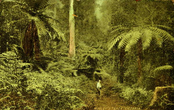
Of
interest is Morley’s Walking Track. This starts at the Fernshaw Picnic Ground and follows an early
version of Yarra Track to Carter’s Gap, ending 8 km distant at the Mt Dom Dom picnic ground,
When constructed the Yarra Track provided
the most direct access from Melbourne, for a range of vehicles, to the eastern goldfields,
particularly the newly opened Jordan Valley
mines. The track was a significant improvement on the other major route to the east, via the Alexandra and Mansfield districts,
and down through the Upper Goulburn area. Its establishment contributed substantially to
the development and character of mining districts and settlements over large areas of the region. The Yarra Track (with the
Black Spur) helped to introduce the delights of the mountain ash forests to Melbourne
people in the later nineteenth century, and it remains a principal thoroughfare for people travelling to the Central Highlands.
Yarra Track begins at Yarra Glen and eventually reaches Matlock, following the Maroondah Highway and the route of Black's Spur in places. Its original alignment has
been altered several times. Divergent sections take in the former settlement at Paradise Plains, Tommy's Bend, Snowy Hill and the original route of the Blacks Spur. Historic towns along the track
include Healesville, Fernshaw, Narbethong, Marysville, Matlock and Woods Point. Significant features include the Hermitage,
Fernshaw, the Big Culvert at Cumberland, former hotel, accommodation houses and wayside stops, Melbourne Water places, roadside
burials, mining areas, sawmill and timber industry sites, abandoned towns and settlements, and scenic reserves.
|
|
|
|
|
|
|
|
|
|
|
|
|
|
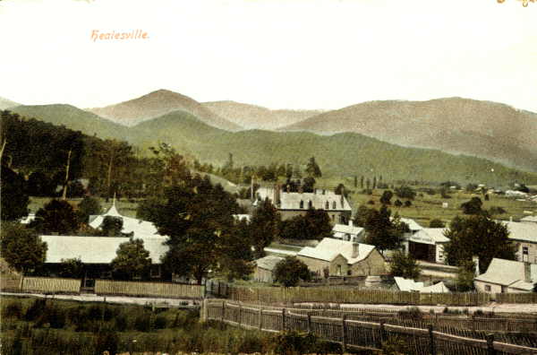
| Town of Healesville in 1900 |
|
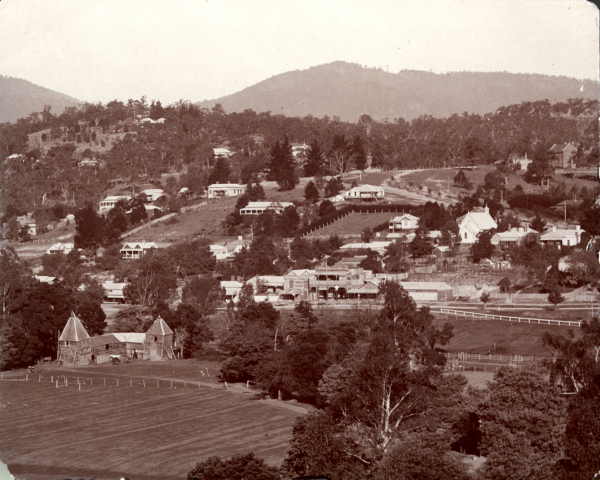
| Town of Healesville in 1906 |
|
| Town of Healesville in 1909 |
|
| Morley's Track in 1906 |
|
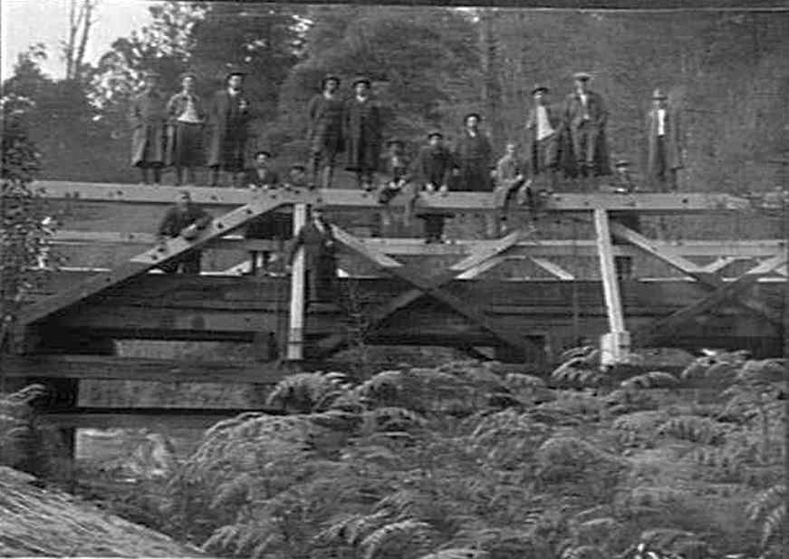
| Fernshaw Bridge in 1913 |
|
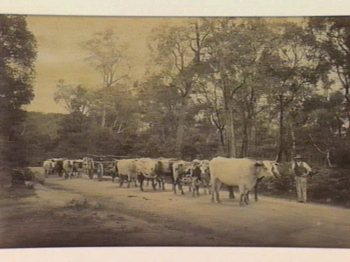
| Bullock team near Healseville c1890 |
|
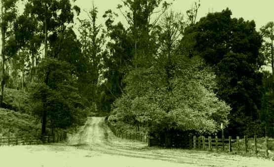
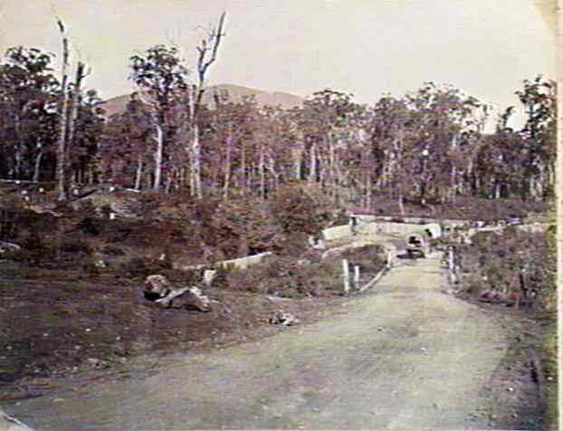
| Fernshaw Rd near Graceburn Weir Rd 1904 |
|
| 1905 Blacks' Spur Rd near Fernshaw |
|
| 1879 the small village of Maytown, near Fernshaw |
|
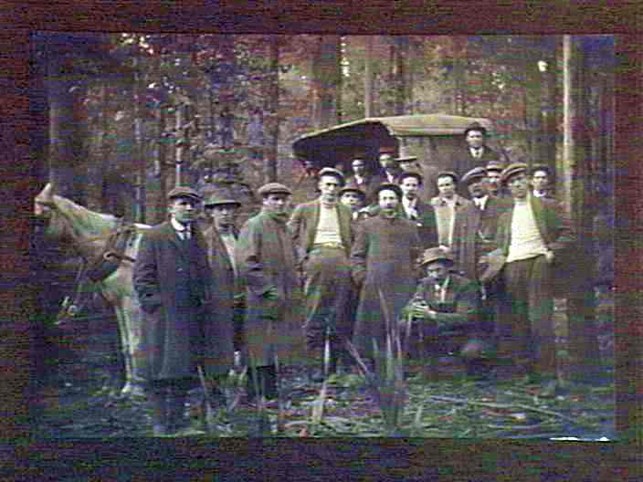
| 1913 Group ready climb Mt Juliet |
|
|
|
|


