ABOUT THE FOREST
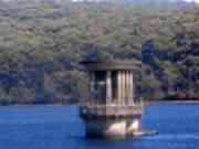
The Silvan Forest is a relatively large area of preserved bushland, adjacent to the Reservoir Park, and managed by Melbourne
Water.
Its boundaries are the Stonyford Rd, the Lilydale-Monbulk Rd, and the Mt Evelyn Section of the Dandenong Ranges
National Park.
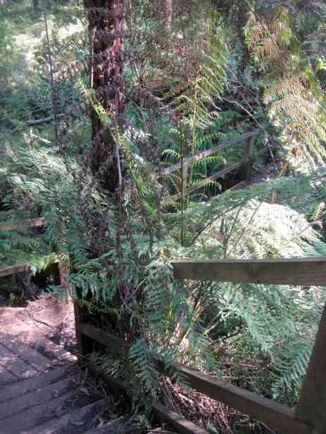
A network of walking trails passes through the Forest, starting at the overflow carpark, opposite the
main gates to the Park - a map is located there.
These are prominently signed, and include the Grey Gum, Circuit, Messmate, and Olinda Creek Tracks.
OLINDA CREEK WALKING TRACK
A popular hike is the 6 km (one way) Olinda Creek Walking Track, which links the overflow carpark with Mt Evelyn.
The
first section of this passes through forest next to the Olinda Creek, then continues up-hill along Melbourne Water's
Pipe Track in a wide firebreak, reaching the Mt Evelyn Recreation Reserve.
Underneath Pipe Track is the large
pipelione carrying water from Silvan to the Preston Reservoir. Silver valves are located along the track for management purposes.
The Track, including Piper Track, actually follows the route of the former Aerial Ropeway, which carried materials via
a Flying Fox from the Mt Evelyn rail siding to the reservoir construction site..
The Track was formed on 1932 by members
of the Melbourne Women's Walking Club.
An account of the first walk by the Club is in the Melbourne Argus, July 28,
1933.
See the Parks Vic link for information about the track, and a map:
http://www.parkweb.vic.gov.au/1park_display.cfm?park=49