|
|
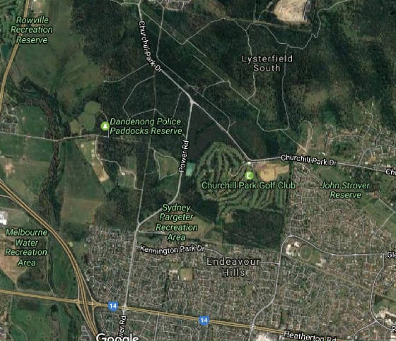
(above) Earth view of Power Rd, between Churchill Park Drive and Heatherton
Rd.
|
|
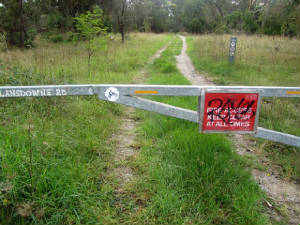
| Gate on Power Rd at entrance to Lansdowne Rd (author, Apr 2017) |
HISTORY Present
day Power Rd extends from Churchill Park Drive in the north, to the Princes Highway (Doveton) in the south.
The
section between Churchill Park Drive and Heatherton Rd is relevant for this Project.
This section was an extension built In
1963 as a new road, one of several constructed in Police Paddocks and nearby areas.at the time. It was built to support
the 7th Australian Scout Jamboree (1964/65). It's name appears both as Power and
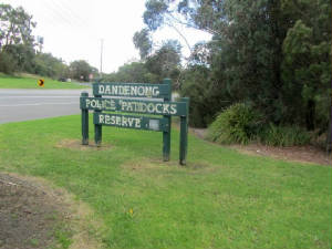
Power's Rd in various sources, and actually passes through the eastern edge of the Police Paddocks Reserve.
Landsdowne
Rd, now a gated track for walkers and cyclists. built for the Jamboree, leads off from Power Rd.
|
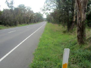
| Power Rd looking north (Apr 2017, author) |
|
| Site notice on Power Rd (Apr 2017, author) |
|
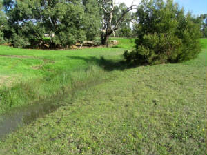
| Watercourse from Power Rd Retarding Basin (Apr 2017, author) |
|
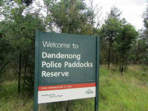
| SIgnage on Power Rd at cnr of Churchill Park Drive (Apr 2017, author) |
|
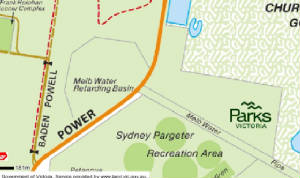
(below) 2017 map (Melways/VicRoads) showing location
of the Power Rd Melbourne Water Retarding basin. Note the
Pipe Track which links the Basin with the disused Lysterfield Reservoir (author)
|
|
| Locality map (2017, Landvic) |
Jamboree Heritage
The
eastern bushland on the east of Power Rd was used for the Jamboree, and was the site for the Rover and Services Camp,
Assembly and Moot Area, truck Truck Parking Bays, and for HQ Sub-Camp No.2. No trace remains of this usage - the
area is now heavily overgrown, extending to the boundary of the Churchill Park Golf Club. Council Tip
After the Jamboree ended, The Lea reverted to
grassland and was used from about 1982 as a council tip, which was subsequently closed down around 1990 and then became
a Melbourne Water Retarding Basin
|
|
(Above) Aerial view of Doveton, looking north, early 1960s
(unknown Internet source)
|
|
 |
|
|
 |
|
|
 |
|
|
|

